Conservation assessment and planning
Applying ecological science and geospatial analysis to evaluate landscapes, prioritize action, and inform conservation design.
Example services
- Biodiversity and habitat condition assessments
- Landscape and wildlife connectivity modeling, especially in support of the inclusion of Room to Roam Act requirements in General Plans
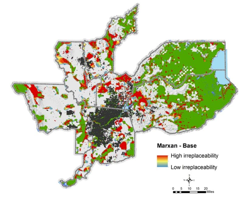
- Conservation prioritization and scenario planning
- Science-based target and indicator development
In practice: the San Joaquin Valley RCIS; siting 10,000 acres of conservation for the Grasslands Water District and High-Speed Rail settlement; the SR 241 Wildlife Connectivity Assessment.